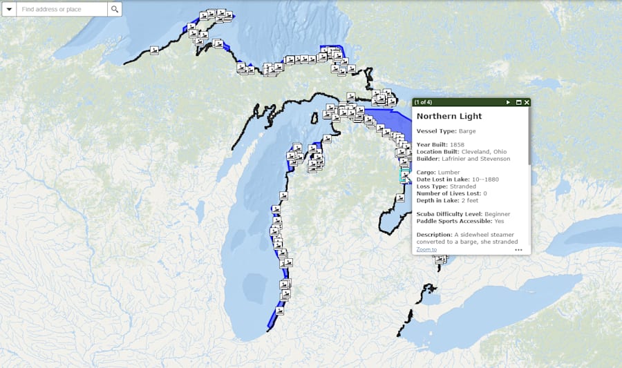
A new interactive map launched by the Michigan History Center allows users to submerge in Michigan water shipwrecks.
The Michigan Shipwrecks StoryMap lets users look at the shipwrecks, as well as the location of lighthouses and boating access sites.
Recommended Videos
There are 1,500 shipwrecks in Michigan waters that make up a quarter of the estimated 6,000 wrecks found within the Great Lakes, according to the Michigan DNR.

“This new tool gives divers, kayakers, snorkelers and armchair explorers a chance to learn more about these underwater archaeological sites and the circumstances that led to the shipwrecks,” Sandra Clark, director of the Michigan History Center, said in a statement.
The app lets users look up shipwrecks by name or location. It provides information about each ship including difficulty level of diving into the wreck, the circumstances for sinking, a description of the ship and whether the wreck is accessible by canoe or kayak.
Clark cautions the public about removing any artifacts from shipwrecks, as Michigan law prohibits any sort of removal.
“The wrecks on the Great Lakes bottomlands belong to the people of Michigan,” Clark said. “If everyone follows the rule of ‘take only pictures and leave only bubbles,' we can ensure that these underwater time capsules will be available for future generations to explore, research and enjoy.”
Wrecks like the Carl D Bradley, which sank in November 1958, aren’t listed. Due to crew members going down with this ship, they’re considered underwater burial sites.
The public can explore the story map and public web app here.
Related:


