To help meet the safety and integration demands of drones in local airspace, the Federal Aviation Administration has introduced the UAS Data Exchange, a partnership between government and private industry with Airspace Link, facilitating the sharing of airspace data between the two parties.
Under this umbrella of cooperation, the first program available to drone pilots today is known as the Low Altitude Authorization and Notification Capability, or LAANC.
Airspace Link’s AirHub Launch application is a free tool for any drone pilot to use when applying for LAANC.
In the United States, the LAANC program is intended to directly support the integration of drones into national airspace.
LAANC enables pilots to apply for near-instantaneous authorization when flying in controlled airspace; a process that previously took up to 90 days. Regulators are interested in supporting technology innovation while still providing air traffic professionals with visibility into where and when drones are operating.
Local governments, such as those within the Detroit Aerotropolis region, play an important role in supporting this industry, and remain the strongest resource for the most up-to-date, on-the-ground information and local operational awareness capabilities, experts with Detroit Aerotropolis said.
The Geographic Information Systems (GIS) data already being maintained by the Detroit Region Aerotropolis communities is paving the way for the construction of a new unmanned aerial vehicles (UAV) infrastructure.
For example, RIIS LLC is a mobile development company based in Troy.
Over the past four years, RIIS pivoted its workforce to focus on creating mobile apps for the drone industry. Its developers have created apps for construction companies, farmers and utility companies that use drones in their day-to-day operations.

Interestingly, Michigan’s four-season climate required the Detroit Region Aerotropolis, city of Taylor and RIIS to identify winter testing opportunities for the drone industry.
RIIS asked Aerotropolis to find a warehouse, aircraft hangar, or something similar -- somewhere to fly drones when it’s cold outside.
Drones have very specific GPS requirements, and typically will not fly indoors due to roofing insulation.
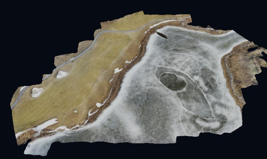
On a cold Friday morning, a dozen mobile app testers and developers had access to the warmth and food of the Lakes of Taylor’s clubhouse.
Moreover, because the course was covered in snow, they could safely fly over each of the holes without having to worry about shouting “fore!”
Next year, RIIS plans on making this a weekly event -- what they’re calling “Flying Fridays.”
The Lakes of Taylor Golf Club is a par-72 championship course, and it spans a total of 7,028 yards from its longest tees.

The course begins with the picturesque stadium hole, where golfers kick off from an elevated tee that plays between 435 and 332 total yards.
What follows is a course that is both thought-provoking and relaxing, perfect for challenging more experienced players, along with helping rookies relax as they learn and absorb this classic game of golf.


