

DETROIT – We are entering an active weather pattern for the next few days, and some of us already have received a scattered thunderstorm this afternoon. Another round of scattered storms will approach later this evening ahead of a cold front crossing Michigan.
Recommended Videos
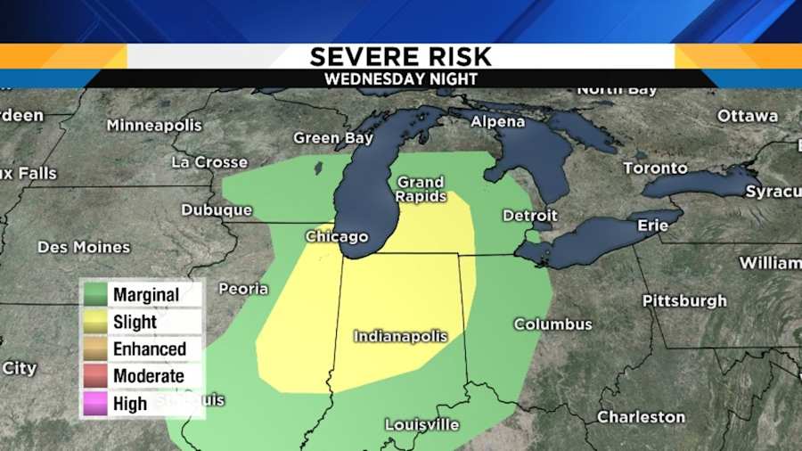
These storms will likely produce some severe weather over southwest Michigan, but there are some positives and negatives dictating whether or not they will remain severe before they get to us.
Positives include the approaching cold front (a trigger), good wind shear, and an approaching upper level disturbance (which helps generate mechanical lifting of air parcels -- the faster they rise, the stronger the storms).
The main negative for maintaining severe status as they move into our area is that it will be well after sunset, and the cooler conditions means that things will be less unstable -- that makes it tougher to get those air parcels to rise violently. It’s a very close call as to if the cooler air will win out and prevent those violent updrafts, or if the mechanical lifting will overcome this.
The bottom line is that some of us will get a later evening thunderstorm, and a few of those could be strong. If any storm is severe, the primary threat would be 60 mph wind gusts, and the better chance for a strong or severe storm is the farther west you are in our area. Lows tonight will be very mild, near 60 degrees (15 to 16 degrees Celsius). South to southwest wind at 10 to 20 mph.
The morning rush hour Thursday should be dry, and we’ll have lots of clouds (with some sunny breaks) during the day, and there’s the small chance for a brief sprinkle or very light shower in the late afternoon. Highs in the low to mid 70s (23 degrees Celsius). West wind at 10 to 15 mph.
Thursday’s sunrise is at 6:18 a.m., and Thursday’s sunset is at 8:42 p.m.
Becoming mostly clear Thursday night, although clouds may increase once again late at night. Lows in the mid 40s (6 to 7 degrees Celsius).
Wet start to the weekend
Friday and Saturday are going to be cool, wet days, as the warm front we’ve been telling you about appears to be staying south of most of us. As we explained over the past couple of days, this front is the dividing line between warm and cold air masses. So north of this front we get periodic rain, and highs only in the low to mid 50s (11 to 13 degrees Celsius) -- not very spring-like. If that front manages to sneak anywhere north of the state line, then some of us down that way could literally shoot into the 70s (25 degrees Celsius).
As for rain amounts, two of our normally reliable computer models are suggesting that we could approach two inches of total rainfall through the weekend.
Mother’s Day
Now that you have the cards bought, the presents wrapped, and the flowers ordered, you can just wait to see how the weather pans out before planning that barbeque. The way today’s models are handling things (and we told you that the timing could change), we’ll probably keep some rain into Sunday morning, but it should move out around lunchtime and then leave us dry for the rest of the afternoon and early evening. As long as the sun returns, highs should reach the upper 60s (20 degrees Celsius).
Next week
Monday and Tuesday still look dry and warm, with highs in the mid 70s (24 degrees Celsius) Monday and in the low 80s (27 degrees Celsius) on Tuesday. This means great weather for the start of Ramadan, which begins at sundown Tuesday evening. If you are observing, I wish you a Ramadan Mubarek.
The models are understandably murky about the middle of next week, but suggest that another front will cross the area, bringing a shower and thunderstorm chance at least on Wednesday, then we’ll hopefully dry out for Thursday and Friday, with the above average temperatures continuing.
WeatherFest
Our annual WeatherFest is this Monday at the Southfield Public Library. This is a great event to bring the kids to, and you can also meet the Local4Casters. You can read all about it here.
First Weather Radio Campaign Day
Our annual weather radio campaign kicks off this Tuesday. Stay tuned for details.