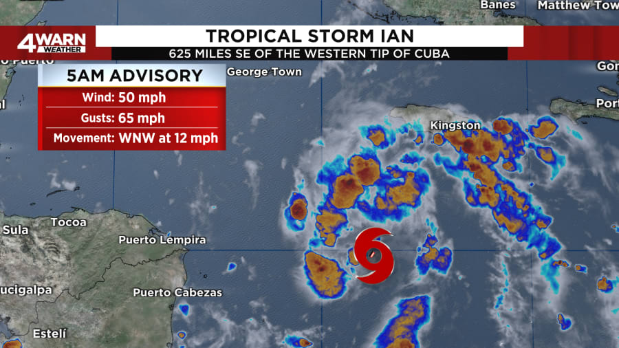
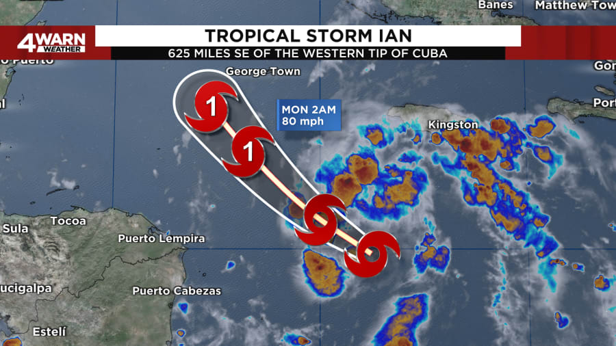
Ian continues to try to become better organized overnight Saturday night into early Sunday morning, with maximum sustained winds of 50 MPH and gusts to 65 MPH, moving to the West-Northwest at 12 MPH. As we head throughout the day, we expect additional strengthening, if not a rapid intensification of Ian, which is still forecast to become a hurricane late Sunday night into early Monday morning.

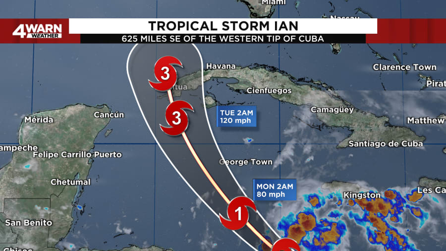
Ian will move into an environment that appears quite conducive for strengthening. Once the center of circulation becomes more defined, any kind of wind shear will relax. With very warm surface temperatures on the water, these conditions are expected to allow for rapid intensification while Ian moves over in the northwestern Caribbean Sea. Some forecast models show a 90% chance of rapid strengthening during the next 48 to 72 hours. The official forecast from the National Hurricane Center calls for rapid intensification to begin later on Sunday and is forecast to be a major hurricane when it nears western Cuba.

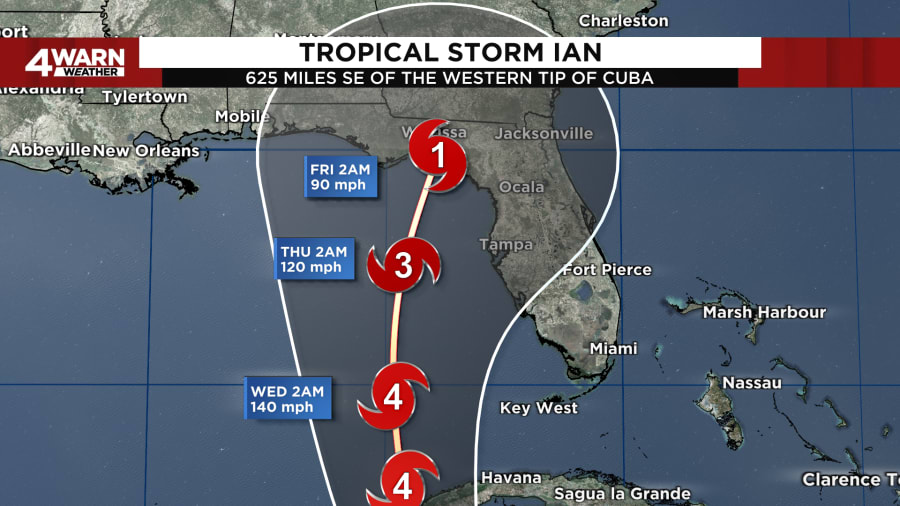
Once the system moves into the Gulf of Mexico, there will be an increase in wind shear, which is predicted by most of the global models, and we are forecasting Ian to weaken as it approaches the Florida coastline. Despite the reduction in the forecast intensity of the storm, Ian is likely to have an expanding wind field and will be slowing down by that time, which will have the potential to produce significant wind in storm surge impacts along the Florida coastline.

Ian is expected to remain a major hurricane when it moves generally northward across the eastern Gulf of Mexico during the middle of next week, but uncertainty in the track forecast is higher than usual. Regardless of Ian’s exact track, there is a risk of dangerous storm surge, hurricane-force winds, and heavy rainfall along the west coast of Florida and the Florida Panhandle by the middle of next week, and residents in Florida should ensure they have their hurricane plan in place, follow any advice given by local officials, and closely monitor updates to the forecast.


