

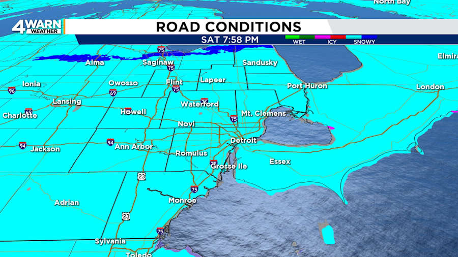
Light snow and wintry mix has brought minor accumulations to Southeast Michigan, but it is enough to create slick roads. Be particularly mindful of ramps, overpasses and other bridges. Drivers should remember to slow down, allow more time for braking, and allow more following distance.
The snow and spotty sleet will gradually end from south to north during the evening. Communities near and north of I-69 will see snow lasting until around midnight. Metro Detroit’s totals will be around an inch. Isolated totals will be up to two inches.
Northern Michigan has winter advisories lasting into Sunday morning due to the forecast of several inches of snow.
Patchy fog and mist will be a concern even after the snow moves out. Untreated roads will be slick through the night.
Under partly cloudy skies, Saturday night’s lows will be in the lower 20s.
Sunday
Sunday will be mostly cloudy to start the day, but clouds will decrease later in the day. Highs will be around 30 degrees. Metro Detroit sports fans who plan to attend Super Bowl watch parties will encounter decent conditions in the evening. Evening temperatures will be in the mid to upper 20s. Winds will be out of the west-northwest.
Sunday night will be partly cloudy with lows in the teens.
The calm weather will extend into the start of the workweek.
Monday
Monday will bring sunshine with partly cloudy skies. Highs will be in the lower 30s, and lows will fall into the upper teens to 20 degrees.
Tuesday
Tuesday will bring clouds and the chance of a few snow showers as a cold front sweeps across Southeast Michigan. Expect highs in the upper 20s and lows in the teens.
More snow late week
Snow chances will be back for Wednesday night, Thursday, and Saturday.
Valentine’s Day
In between those days with snow chances, Friday’s weather looks to be mostly cloudy, cold, and dry. Conditions will be good for celebrating Valentine’s Day with an evening dinner or a night on the town.
