

4Warn Weather – A big temperature drop is in store for Metro Detroit.
Following temperatures in the mid-70s in much of Southeast Michigan on Wednesday afternoon, Metro Detroiters will be donning jackets again.
Under mostly cloudy skies, lows will be in the mid 40s in Detroit, Dearborn, Monroe and Adrian.
Expect lows in the lower-40s in Rochester Hills and Fowlerville and the upper-30s in Lapeer and Sandusky.
Winds will be out of the north-northeast 10 mph. An isolated shower will be possible overnight. The better chance of a few sprinkles will be near and south of I-94.
Thursday
Thursday will be sunny. Highs will be in the upper-50s and lower-60s.
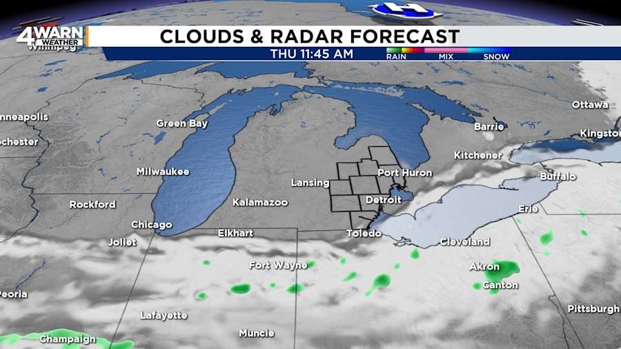
Nighttime skies will remain clear as temperatures fall to around 40 degrees. Some locations will run the risk of frost. Temperatures will dip into the mid-30s in Ann Arbor, Milford, Grand Blanc, Oxford, and Shelby Township. Winds will be out of the north-northeast at 5 to 15 mph.
Friday
It will be mostly sunny on Friday, with highs in the mid- to upper-60s. Lows will be in the mid-40s.
Saturday and Sunday
The weekend will bring great weather for Mother’s Day celebrations.
Both Saturday and Sunday will be comfortable, with highs reaching the lower to mid-70s.
Looking Ahead
Metro Detroit’s temperatures will flirt with 80 degrees on Monday.
Find the latest forecast from the 4Warn Weather team here
Remember to download the free 4Warn weather app -- it’s easily one of the best in the nation. Just search your app store under WDIV, and it’s right there, available for both iPhones and Androids! Or click the appropriate link below.


