

Warm weather will dominate the forecast, but rain showers and a few thunderstorms will also make appearances.
Skies will remain mostly clear on Saturday night. After a warm day, Southeast Michigan will have a chilly night. Temperatures will fall to the mid 30s in Lapeer, Sandusky and Lexington; around 40 degrees in Port Huron, Romeo, Clarkston and Pinckney; and the mid-40s in Detroit, Westland, Melvindale and Monroe.
Consider taking precautions for tender outdoor plants in the Thumb. Patchy frost could be possible in a few spots.
Mother’s Day
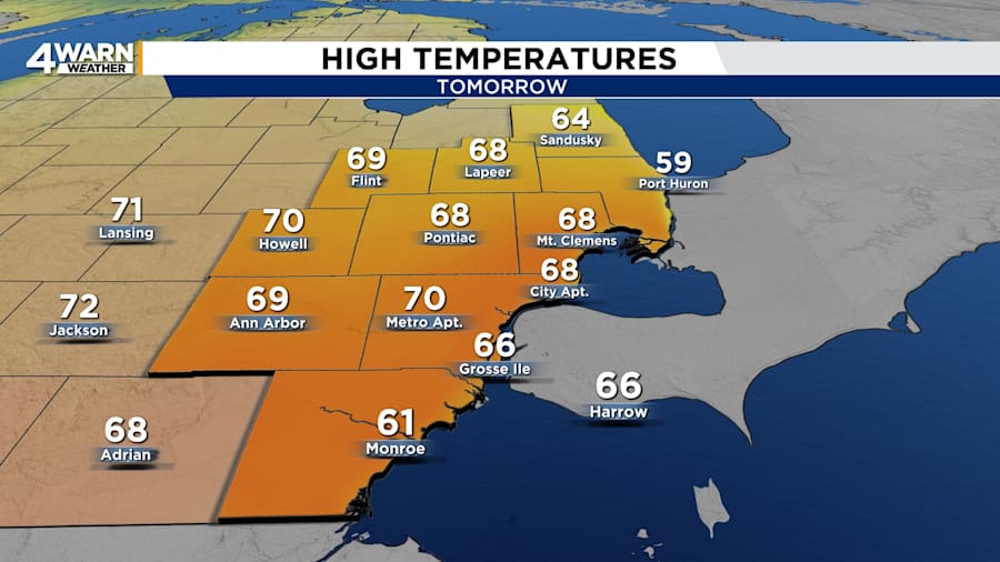
Conditions will be ideal for Mother’s Day celebrations. Sunday morning will be cool with temperatures in the 30s and 40s at daybreak. It will warm into the 60s by the afternoon, and the warmest locations will reach 70 degrees. Expect it to be sunny all day. Winds will be out of the east at 5 to 10 mph.
It will mostly clear on Sunday night. Lows will be in the mid-40s to upper-40s. The cooler temperatures will be near Ann Arbor, Brighton, Commerce Township, Lake Angelus, Lake Orion, Armada, Washington Township, Imlay City and Marysville. It will be milder near River Rouge, Hamtramck, Inkster, Gibraltar and Luna Pier. Winds will be out of the east-southeast at 5 to 10 mph.
Monday
The clear skies continue into the start of the workweek. Highs will be in the mid-70s to near 80 degrees on Monday afternoon.
Clouds will increase at night, and rain showers will develop overnight. The showers will push northward from the Ohio Valley. Lows will be in the mid-50s to 60 degrees.
Tuesday & Wednesday
Skies will be mostly cloudy with scattered rain showers on Tuesday and Wednesday. Tuesday’s highs will be in the lower- to mid-70s, and Wednesday’s highs will be in the mid- to upper-70s. Lows will be around 60 degrees both days.
Thursday & Friday
Thursday and Friday will bring lower rain chances. A few showers and thunderstorms will be possible. Highs will be in the upper-70s to lower-80s, which is around 10 degrees above average.


