

4Warn Weather – Get ready for some weather-whiplash as we are set to see heat, rain, storms, and cooler temperatures all in just the span of a couple of days.
Rest of Tuesday
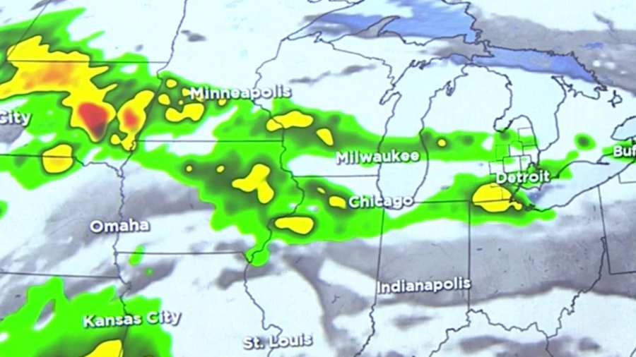
For the rest of today a stray shower or two remains possible closer to the thumb, but most of us will stay dry with clearing skies tonight.
Temperatures overnight drop into the middle to upper 50s.
Hot temperatures Wednesday
The heat returns Wednesday with mostly sunny skies and temperatures well above where they should be this time of the year. Highs will get into the middle to upper 80s.
Storm chances end week
Then things take a turn as rain, the chance for storms, and cooler temperatures return for the rest of the week. Thursday we bring back the chance for a few showers, maybe a couple of storms. Chances here look better later in the day, and mainly north.
Rain chances continue into Friday and Saturday, and get higher. Both days we’re expecting rain showers, along with cooler temperatures. Highs both days will only be in the lower 70s.
Next week
After a cool and soggy end to the week, we start next week on a more positive note with warming temperatures and more dry time.
The heat really builds back in by the middle of next week, with highs on Tuesday reaching the middle 80s.
Find the latest forecast from the 4Warn Weather team here
Remember to download the free 4Warn weather app -- it’s easily one of the best in the nation. Just search your app store under WDIV, and it’s right there, available for both iPhones and Androids! Or click the appropriate link below.
