
The thermometer is getting ready to swing in the other direction, and fast. Metro Detroit will heat up quickly, with highs jumping into the mid-80s on this Wednesday. The average high is 79 degrees, but we will not break the record high for June 11. The record, which was set in 1933, is 97 degrees.
As Southeast Michigan bakes in the heat, skies will be mostly sunny and hazy. Winds will also pick up. Southwesterly winds will be 7 to 20 mph with gusts up to 30 mph.
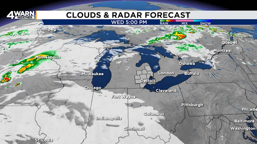
Clouds will increase Wednesday night. Expect lows in the lower-60s, and westerly winds at 6 to 12 mph. Gusts will be up to 20 mph.
Rain and thunderstorm chances increase for the second half of the week
Things will start to change Thursday. A system will bring the chance for a couple of showers in the morning to communities north of I-69.
The rain chances for Metro Detroit and communities south of I-69 will primarily be in the evening. Rain and thunderstorm chances will be better for Friday and Saturday.
Day-by-day forecast and short-term highlights
Here’s how the rest of the week looks according to the Exact Track 4D forecast:
- Thursday: Sun to start, then an increasing chance of showers and thunderstorms, mainly late day. Highs will be near 80 degrees.
- Friday & Saturday: Better chances for rain, with off-and-on showers both days. Highs trend cooler, in the mid-70s to near 80 degrees.
- Sunday: Father’s Day will be comfortable, with highs in the mid-70s.
- Next week: Southeast Michigan will trend drier and back into the 80s.
If you are making outdoor plans, you may want to keep a rain jacket close by, especially Friday and Saturday. As always, for the latest radar updates and live storm tracking, check back to Local 4’s 4Warn Weather or the 4Warn Weather app.
Have you seen something fun or interesting? Share your photos and videos with us at MIPics and you might be featured on-air or online.
