

The 80-degree weather is back to Metro Detroit. Stormy weather will also soon return.
A warm Father’s Day will end with comfortable conditions in Southeast Michigan. Under partly cloudy skies, Sunday night will see lows ranging from 55 to 60 degrees.
Monday
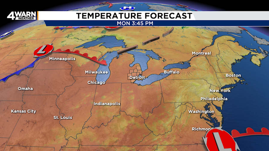
Expect mostly sunny to partly cloudy skies on Monday. While most of Southeast Michigan can expect to remain dry, an isolated rain shower cannot be ruled out for the evening. Highs will be in the lower-80s. Lows will be 60 to 65 degrees.
Tuesday
The heat will reinforce itself over Southeast Michigan on Tuesday. Temperatures will reach the mid-80s, which is a few degrees above normal. The chance for a couple of rain showers and thunderstorms will re-enter the picture in the afternoon. The odds of encountering one of the showers is low. Nighttime temperatures will only fall into the mid- to upper-60s.
Wednesday
Pay close attention to the forecast for Wednesday, which could become an active weather day in Southeast Michigan. With highs in the mid-80s, the heat and moisture will fuel storms along and ahead of an approaching cold front.
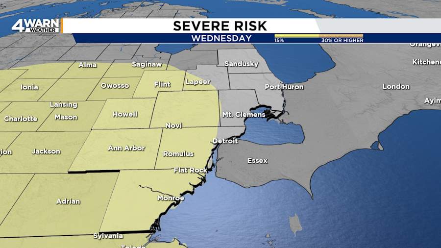
The Storm Prediction Center currently places most of Southeast Michigan under a 15 percent risk for severe storms on Wednesday, which means there is a “slight risk.” This threat means that storms may bring damaging winds, heavy rain, and possibly other hazards. Storms could begin as early as the afternoon, but the risk will take us into the nighttime hours.
Wednesday night’s lows will be in the mid-60s.
Thursday
Behind the cold front, Juneteenth will be cooler. With lingering rain showers and a possible thunderstorm, Thursday’s highs will be in the upper 70s to 80 degrees. Lows will be in the lower 60s.
Looking Ahead
Temperatures will begin to climb heading into the weekend. Next Sunday, Southeast Michigan could see its first 90-degree day of the season.
