

Take advantage of cooler, comfortable air for yard work, running, biking, or patio meals.
The workweek is beginning with cooler and less humid conditions. With temperatures stuck in the 70s in many communities, Monday’s clouds are forecast to decrease throughout the day.
Monday night will be partly cloudy and cool. Lows will be in the mid-50s to lower-60s.
Tuesday
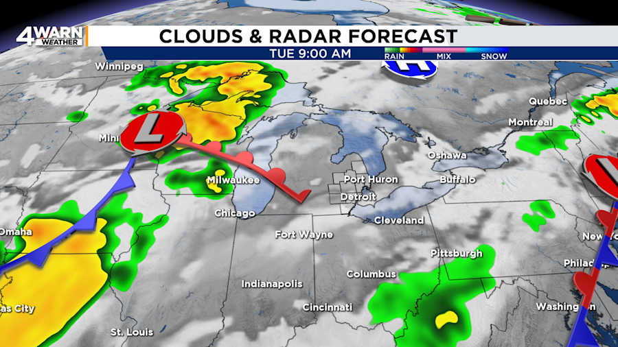
Tuesday is likely to be the best day of the week: dry, pleasant, partly cloudy, and seasonable conditions are expected as temperatures reach the mid‑80s. Under mostly cloudy skies, lows will be in the mid-60s.
Mid to Late Week: Heat & Storms Return
Wednesday through Thursday, Metro Detroit will start to see the return of warm and muggy conditions, accompanied by increasing chances of thunderstorms. The daily rain chances will be mainly in the afternoon and evening. Highs will be in the mid-80s and lows in the mid-60s.
Scattered showers and thunderstorms are possible Friday through Sunday, with some isolated storms potentially becoming strong. Highs will climb into the upper‑80s, with feel-like temperatures into the lower- to mid-90s.
If you capture what the weather is like in your neighborhood, Local 4 wants to see it. Share your summer weather photos at MIPics.
